Skip to content

Gold · Nagssugtoqidian orogen · ~40 km² exclusive exploration licence

Attu Gold

Attu is a shear-corridor gold system near the village of Attu. Gold occurs across a wide, multi-kilometre structural zone that has not been drilled with modern methods. The project is exploration-stage. No Mineral Resource has been defined.

Overview

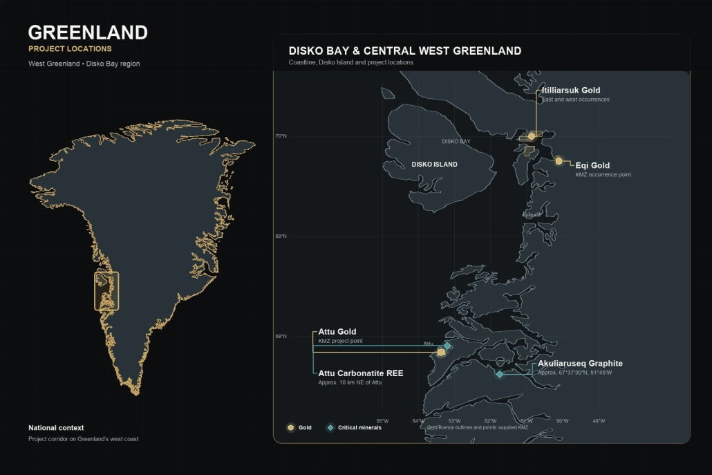
Attu is an exploration-stage gold project located near the village of Attu in central West Greenland. The project covers an approximately 40 km² exclusive exploration licence within the Nagssugtoqidian orogen, a Paleoproterozoic geological belt shaped by high-grade metamorphism, ductile shearing and repeated deformation.

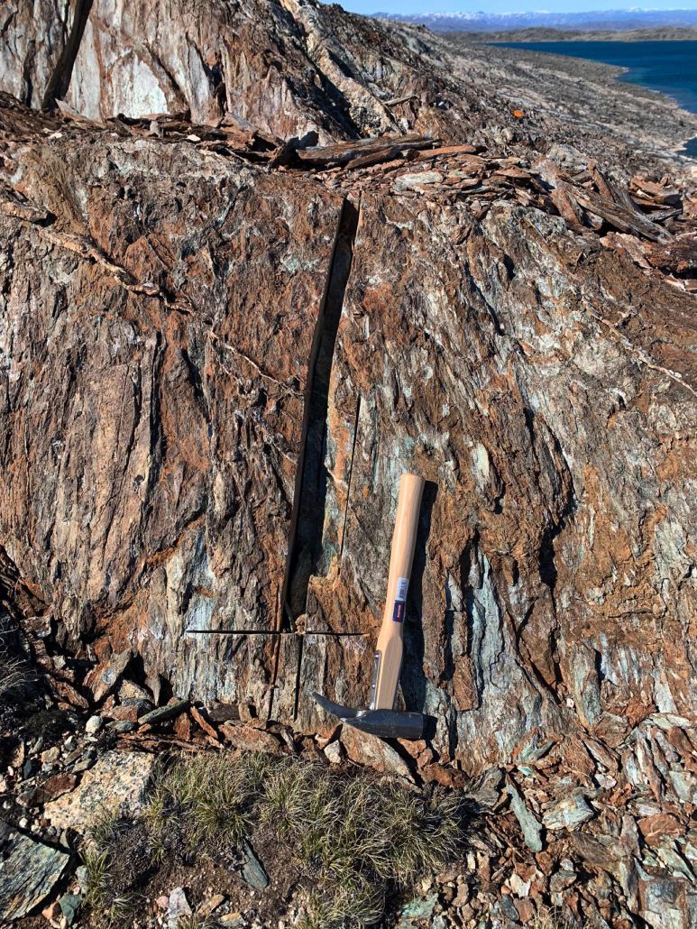
Gold has been reported within a multi-kilometre structural corridor hosted by silicified mylonite, shear-zone quartz veins, and altered amphibolite and gneiss. Surface samples have returned reported results of 2–8 g/t Au, while the corridor is approximately 100–330 metres wide and traceable for several kilometres.

Historic exploration has focused on mapping and surface sampling, and the corridor remains undrilled at depth. No Mineral Resource or Mineral Reserve has been defined, and further exploration is required to establish continuity below the surface. Any future work must be undertaken responsibly and with respect for the nearby Attu community, local land use and seasonal access.

Why Attu matters

  • Multi-kilometre strike concept
  • Reported consistent surface gold across a wide corridor
  • Strong structural architecture
  • Undrilled at depth

Key reported results

  • Surface samples 2–8 g/t Au in silicified mylonite
  • GEUS-verified samples greater than 1 g/t Au (greater than 1,000 ppb Au) reported across published summaries
  • Structural corridor 100–330 m wide

Status

Exploration-stage. Surface sampling and mapping. Completely undrilled at depth according to the Technical Report Summary. Continuity at depth is conceptual.

Geological setting

Attu sits within the Nagssugtoqidian orogen — a major Paleoproterozoic belt characterised by amphibolite-facies metamorphism, strong ductile shearing, ESE–WNW trending mylonite zones, and repeated deformation. The Pakitsoq shear zone south of the Atâ granite complex is the documented structural environment for the corridor.

Reported geometry: corridor width 100–330 m; strike about 75° (ENE–WSW); dip 60–70° west; known strike length of several kilometres.

Mineralisation and history

Gold is hosted in silicified mylonite, shear-zone quartz veins, and altered amphibolite and gneiss. These conditions create pathways for gold-bearing fluids; they do not by themselves establish a deposit.

Historic work is dominated by mapping and surface sampling. Depth potential is therefore a target for future exploration, not a demonstrated asset.

Exploration potential

The structural corridor is 100–330 m wide, traceable for several kilometres, and undrilled at depth. That combination is the basis for describing Attu as a large-scale orogenic gold target. Scale here refers to the size of the structural system, not to ounces, tonnes or value.